The digital model in this viewport is a massing and systems reconstruction, not a measured survey. The plates below are the photographic record it was derived from. Where the CAD geometry departs from the photographs, the photograph is authoritative — the model resolves the building only as a schematic volume.
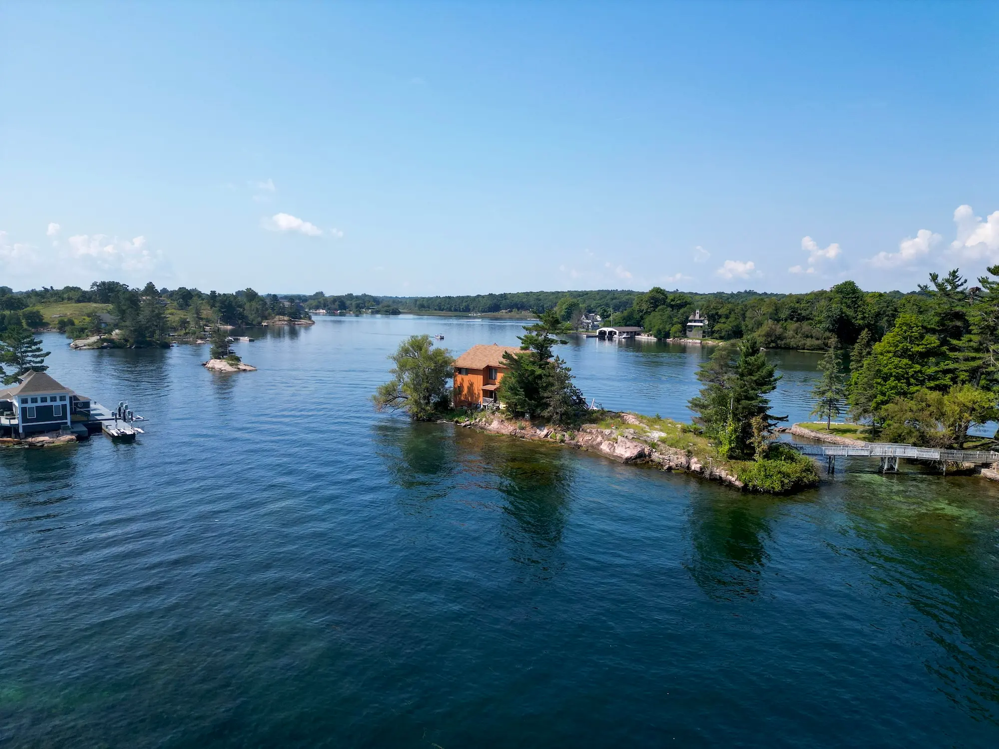
PLATE 01 // SITE CONTEXT
Establishes the primary datum for the whole model: the residence sits on the island's central granite knoll, reached by a single timber causeway from the mainland, with the deepwater approach lying to the east. The bathymetry and the channel position are scaled from the shoreline and channel relationship visible here.
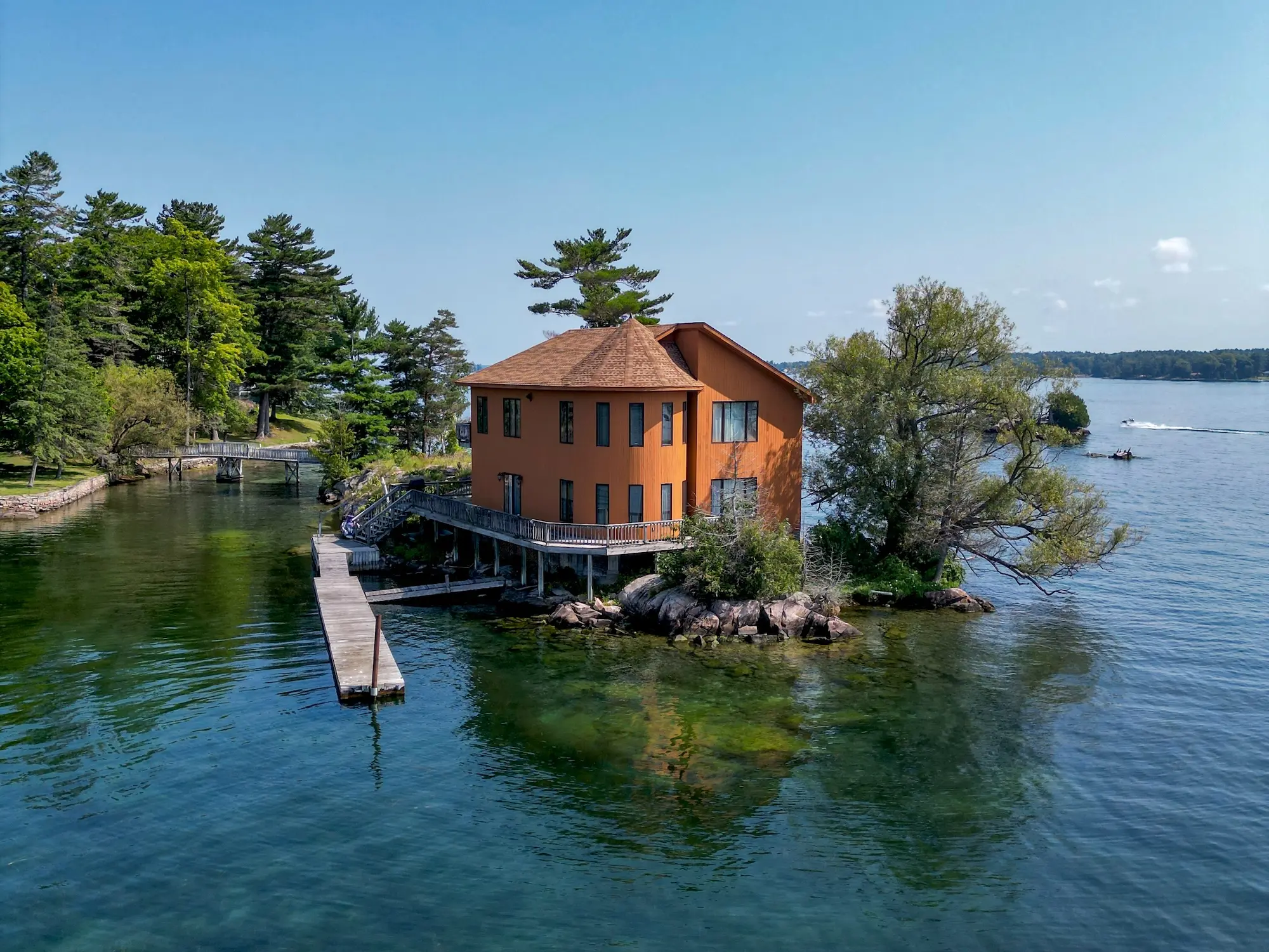
PLATE 02 // FACILITY MASSING
The principal source for the cedar facility geometry: an octagonal cedar-clad drum under a steep conical shingle roof, with a lower gabled wing, a wraparound deck, and piles carrying the structure over bedrock at the water's edge. It is the building the Soil Room occupies.
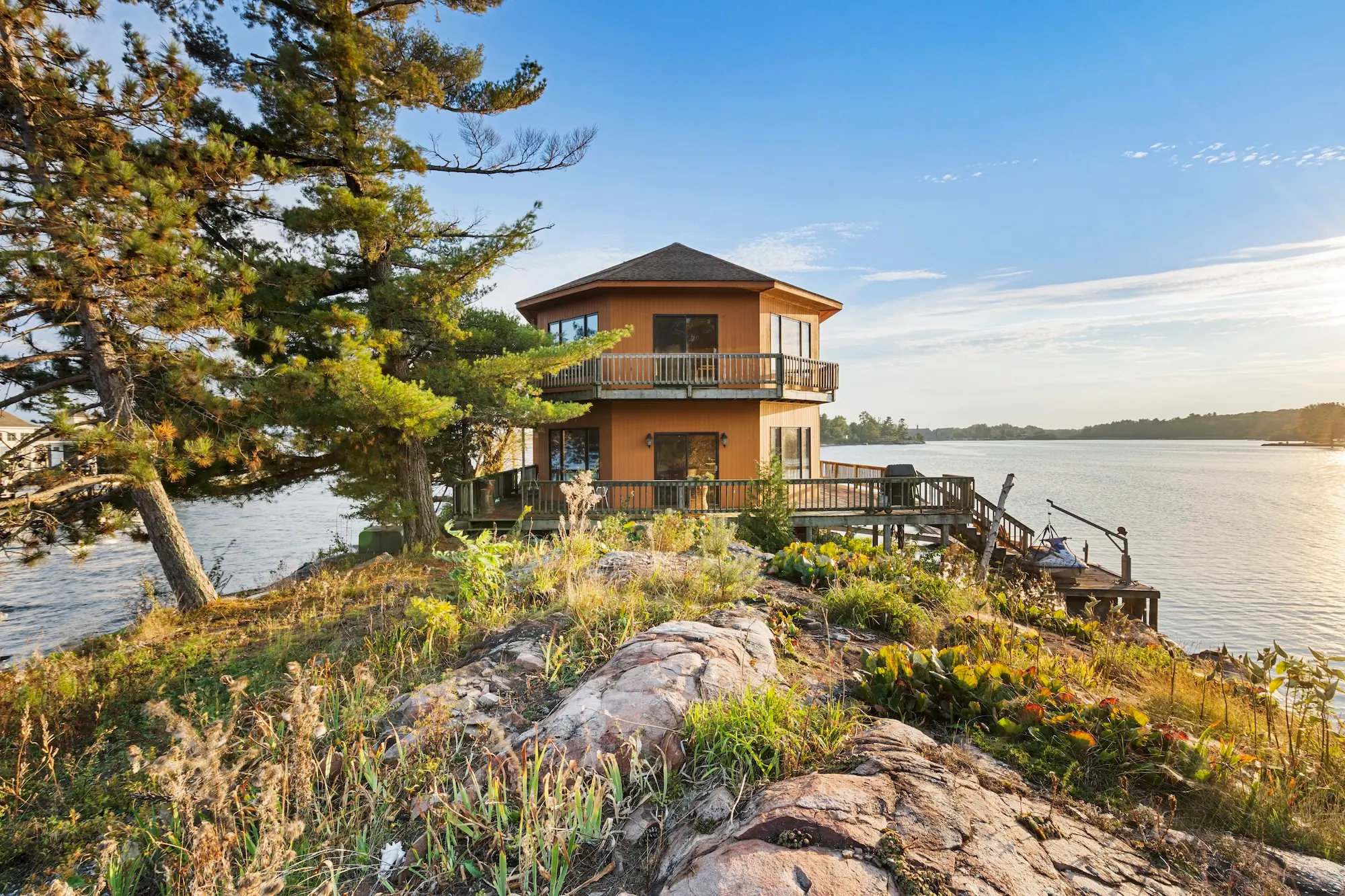
PLATE 03 // GROUND & DOCKS
Shows why the model steps rather than slopes. Bare glaciated granite pluton outcrops surface directly through thin soil, forcing the contour tiers to break around rock highs and drop sharply to the water. It also fixes the timber deck and dock run — the berth and boardwalk extents in the model are taken from this plate.
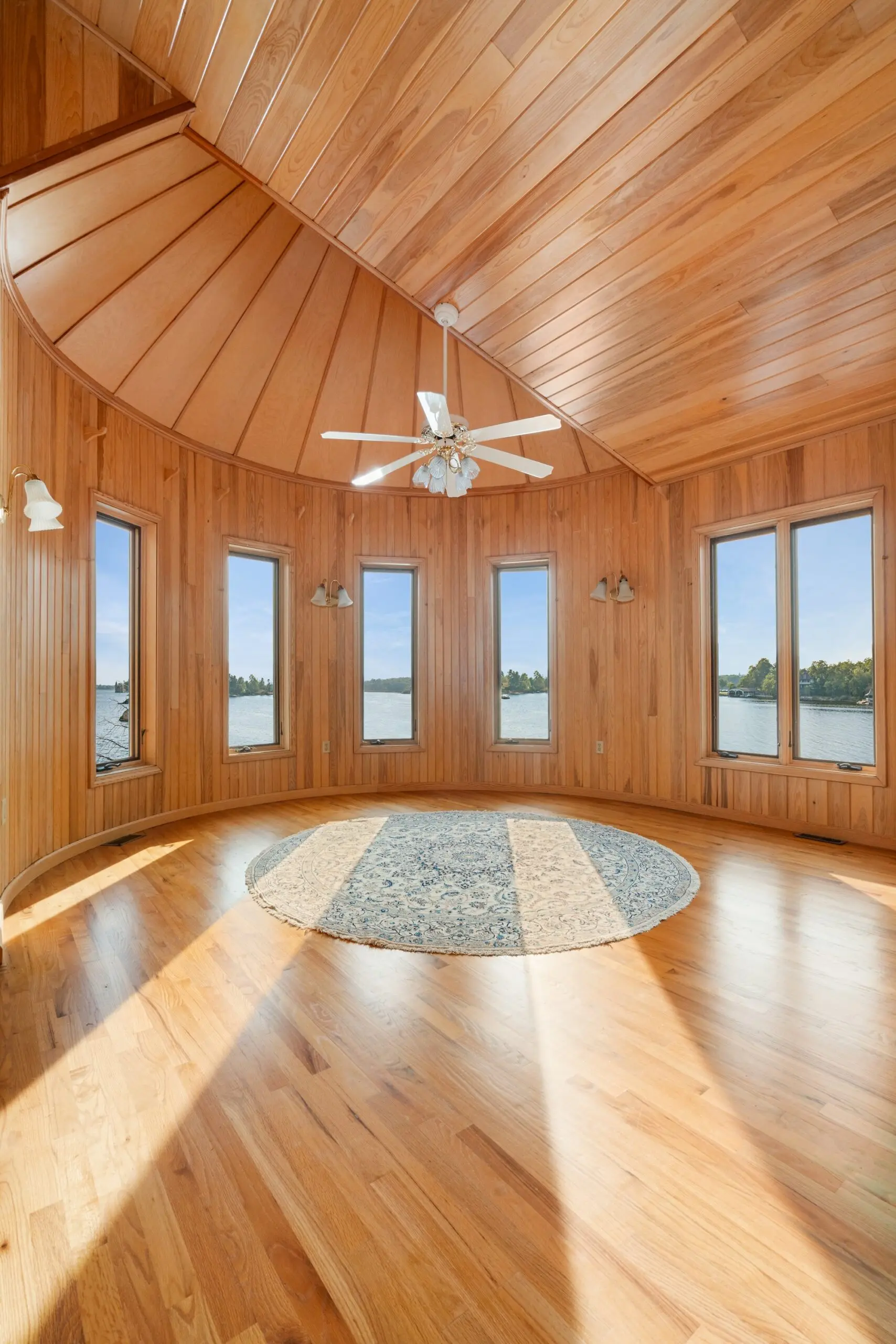
PLATE 04 // SOIL ROOM
The interior volume the exterior drum contains: a single circular room, wholly cedar-panelled, under a ribbed timber dome, lit by a continuous ring of tall windows around the upper wall. The cone-on-cylinder reading of the roof comes from this plate. The circular bench at the room's centre is where the rhizosphere test bed and soil instrumentation are read.